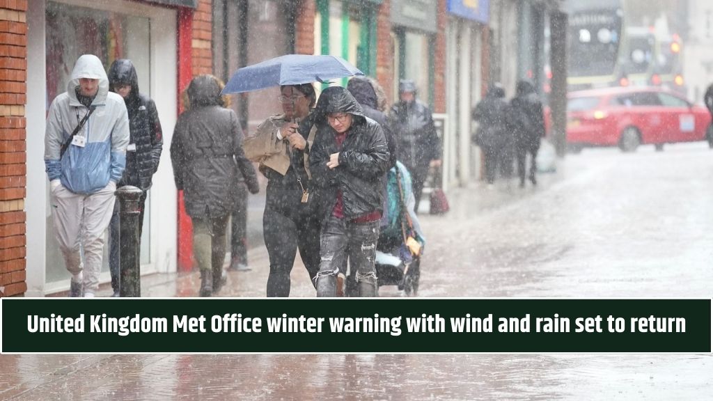
The UK is set for a week of changing weather, with snow and ice warnings at the start giving way to milder, wetter conditions as the week progresses. While cold air continues to dominate early in the week, temperatures are expected to rise, with highs of 16°C by Thursday and Friday, making it feel more like spring. The Met Office has warned of heavy rain, strong winds, and potential coastal gales later in the week.
Snow and Ice to Start the Week
As the week begins, winter weather hazards remain across much of the UK. Cold air will bring sub-zero temperatures overnight for many regions. Northern Ireland and Scotland will see outbreaks of rain turning into sleet and snow, with freezing rain possible in some areas. A yellow warning for snow and ice has been issued for Tuesday, highlighting the potential for travel disruption and hazardous conditions.

Met Office Deputy Chief Meteorologist Tony Wisson explained the upcoming shift:
“Milder but unsettled conditions are moving in from the Atlantic later this week. As the week goes on, we’re set to experience wetter conditions with showers and bands of rain moving in from the Atlantic. Western hills will see the highest rainfall totals, with 75-100mm possible here, building up from Wednesday to Friday.”
Midweek Shift: Milder but Wetter
By midweek, the weather will take a noticeable turn. Warmer air from the Atlantic will push out the colder conditions, bringing higher temperatures but also increased rainfall. Western hills are likely to receive the most rain, with up to 100mm expected between Wednesday and Friday.

Despite the rain, there will be occasional sunny spells that will make the days feel milder. Temperatures are expected to reach as high as 16°C on Thursday and Friday, offering a brief taste of spring.
Weekend Outlook: Mild, Showery, and Windy
Looking towards the weekend, the Met Office forecasts:
- Mild temperatures with sunny intervals.
- Scattered showers, especially in coastal areas.
- Gusty winds and potential coastal gales, particularly along western coastlines.
While the weather may feel more spring-like, the unsettled conditions mean rain and wind will remain a factor, especially for those in exposed areas.
Regional Focus: South West England Forecast

The South West will experience a mix of cloud, drizzle, and mist to start the week, followed by brighter and drier spells midweek before the arrival of heavier rain.
Monday:
- Mostly cloudy with occasional brighter intervals.
- Drizzle, mist, and hill fog in Cornwall and Devon.
- Chilly for most, but breezier and milder in the west.
- Maximum temperature: 9°C.
Monday Night:
- Dry evening with some clear spells.
- Increasing cloud cover overnight.
- Patchy grass frost where skies remain clear.
- Minimum temperature: 2°C.
Tuesday:
- Dry and bright with variable cloud cover.
- Hazy sunshine at times.
- Brisk easterly winds, particularly in the west and over higher ground.
- Milder temperatures.
- Maximum temperature: 10°C.
Wednesday to Friday:
- Showery rain spreading eastward on Wednesday.
- Warmer temperatures with maximums around 16°C on Thursday and Friday.
- Unsettled weather with periods of heavy rain and potential coastal gales.
Weather Safety Tips for the Week
- Prepare for Ice and Snow: If travelling in northern areas, ensure vehicles are winter-ready and drive with caution.
- Secure Outdoor Items: Strong winds later in the week may cause unsecured items to move.
- Watch for Flooding: With heavy rain forecasted, monitor local flood warnings, particularly in western regions.
- Dress in Layers: Cold conditions early in the week will give way to milder weather, so layer clothing to stay comfortable.
The UK is in for a weather rollercoaster this week, with snow and ice warnings at the start followed by a milder, wetter spell as the weekend approaches. Temperatures could reach 16°C, offering a brief spring-like feel amid showers and gusty winds. Residents are advised to stay updated with Met Office alerts, especially in coastal areas prone to gales and heavy rain.
| Visit for More News and Updates | WSOA NEWS |